Bio
I am a Principal Research Scientist in the Microsoft AI for Good Research Lab where I co-lead the Geospatial ML research group and focus on tackling large scale applied problems at the intersection of remote sensing and machine learning/computer vision. Generally, I’m interested in research topics that facilitate using remotely sensed data more effectively in conservation, sustainability, and damage response application. For example: self-supervised methods for training deep learning models with large amounts of unlabeled satellite imagery, human-in-the-loop methods for creating and validating modeled layers, and domain adaptation methods for developing models that can generalize over space and time. Similarly, I am also interested in creating open-source tools that facilitate using remotely sensed data in machine learning pipelines – I am a creator/maintainer of the torchgeo library and “satellite imagery labeling tool”.
I graduated from the Georgia Institute of Technology with a PhD in 2020 under the supervision of Bistra Dilkina with a dissertation titled, “Large scale machine learning for geospatial problems in computational sustainability”.
I am also an adjunct faculty member at Arizona State University, where I taught CSE 475: Foundations of Machine Learning with Hannah Kerner.
Projects
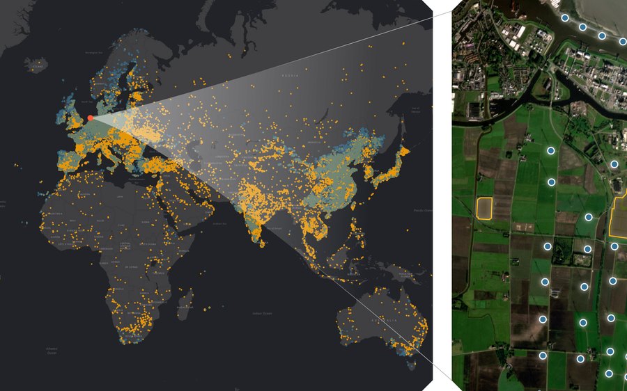
Global Renewables Watch
A temporal dataset of global solar and wind energy installations derived from satellite imagery, with Planet and The Nature Conservancy.
Visualizer / Paper / GitHub
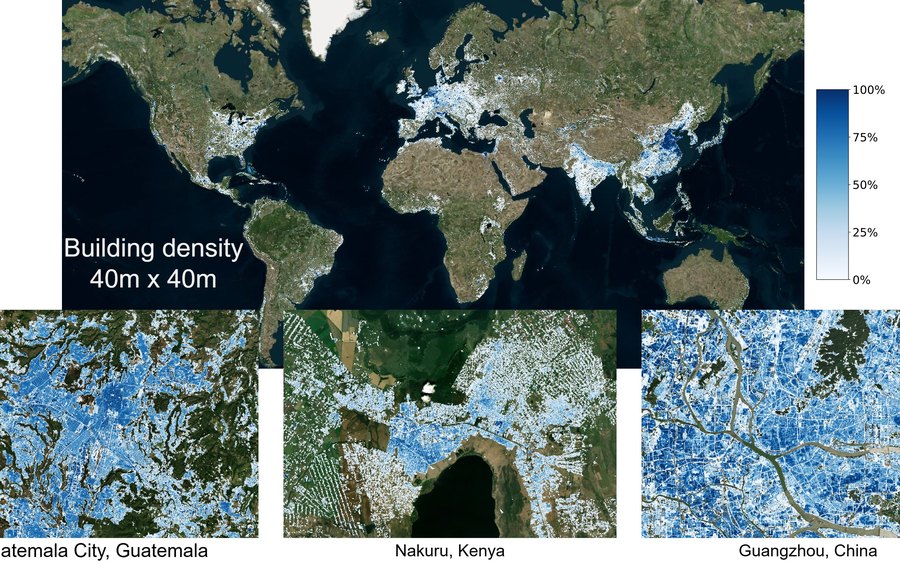
TEMPO: Building Density and Height
Global temporal building density and height estimation from satellite imagery.
Visualizer / Paper / GitHub
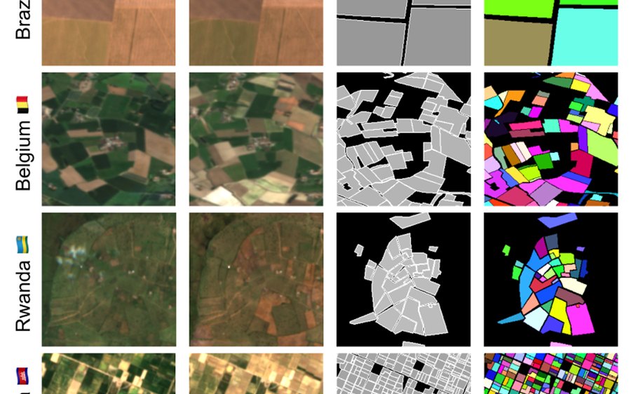
Field Boundary Delineation
Fields of The World: benchmark datasets, models, and global 10m maps for agricultural field boundary segmentation.
Visualizer / Website / GitHub / Papers: Global Map · PRUE · FTW · FTP
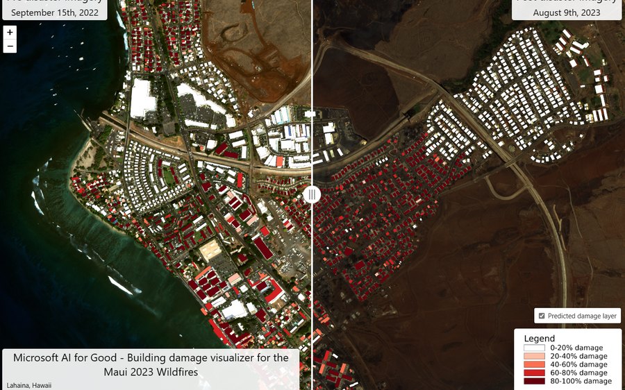
Building Damage Assessment
Rapid post-disaster mapping of building damage from satellite and aerial imagery, used by responders in the hours after an event.
Visualizer / Paper / GitHub / HASTE
Demos
Interactive demos of some of our recent work — click through to try them:
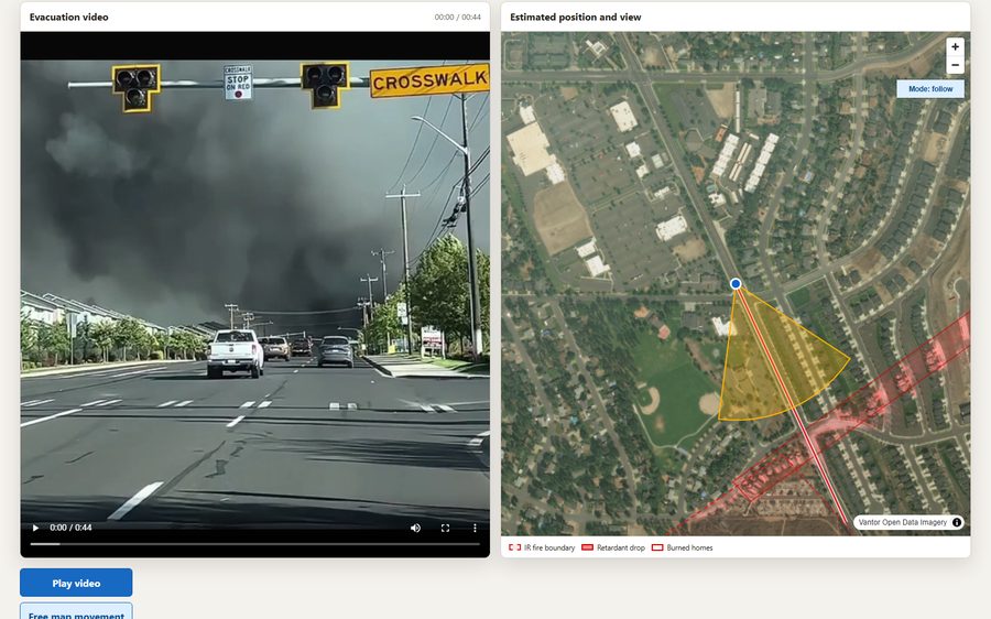
Spokane Fire Visualizer
A 44-second wildfire evacuation video synchronized with post-fire Vantor imagery, highlighting an aerial retardant drop and 17 burned homes.
0 1 contributor
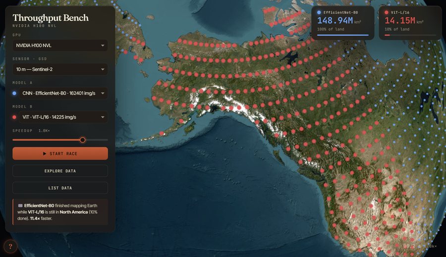
Throughput Bench
How fast can a deep learning model map the planet? Benchmark results for geospatial models across GPUs, precisions, and batch sizes.
14 1 contributor
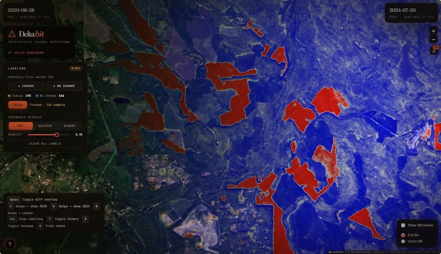
DeltaBit
Label, train, and predict per-pixel change detection in the browser over compressed AlphaEarth embedding-difference tiles.
2 2 contributors
Sentinel-2 Paint
Recreates any photo as a mosaic of real Sentinel-2 satellite imagery patches.
6 1 contributor
Software

TorchGeo
PyTorch datasets, samplers, transforms, and pre-trained models for geospatial data. I am a co-creator and maintainer.
4.1k 128 contributors

torchgeo-bench
Lightweight benchmarking of frozen geospatial foundation models on the GeoBench suites, with KNN and linear-probe metrics.
24 5 contributors
Satellite Imagery Labeling Tool
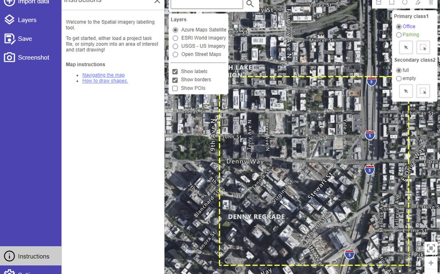
Lightweight web interface for creating and sharing vector annotations over satellite and aerial imagery scenes.
294 7 contributors
Dynamic World in PyTorch
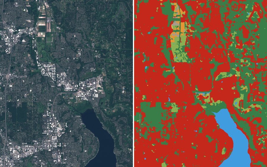
PyTorch port of Google's Dynamic World 10m land cover model — a bit-exact match to the official TensorFlow weights.
14 1 contributor
s2-superres
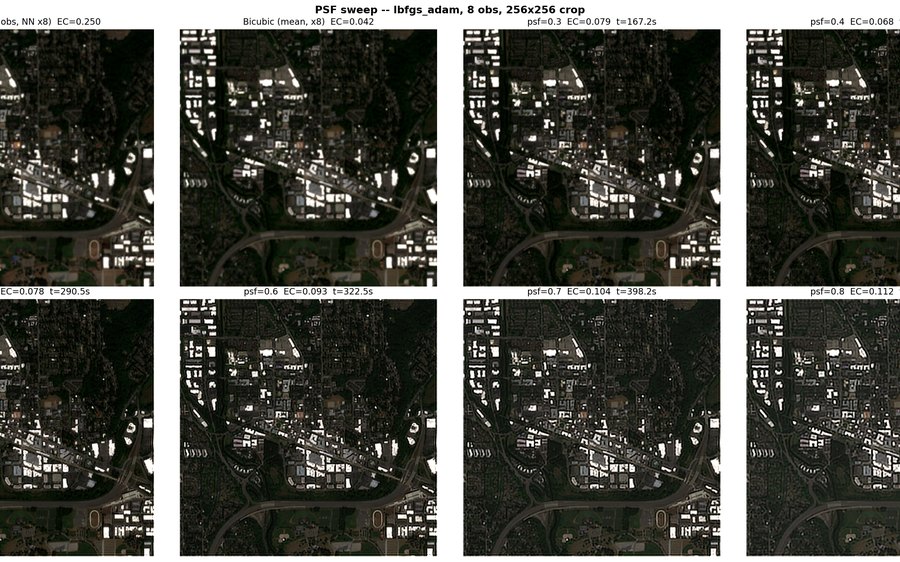
Multi-temporal Sentinel-2 super-resolution by optimization.
13 1 contributor
MapLibre GL Components
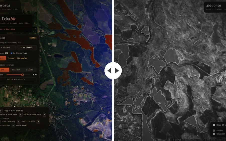
Single-file MapLibre GL JS plugins: swipe map comparisons and Cloud Optimized GeoTIFF rendering, no build step or tile server.
0 1 contributor
vsrecent
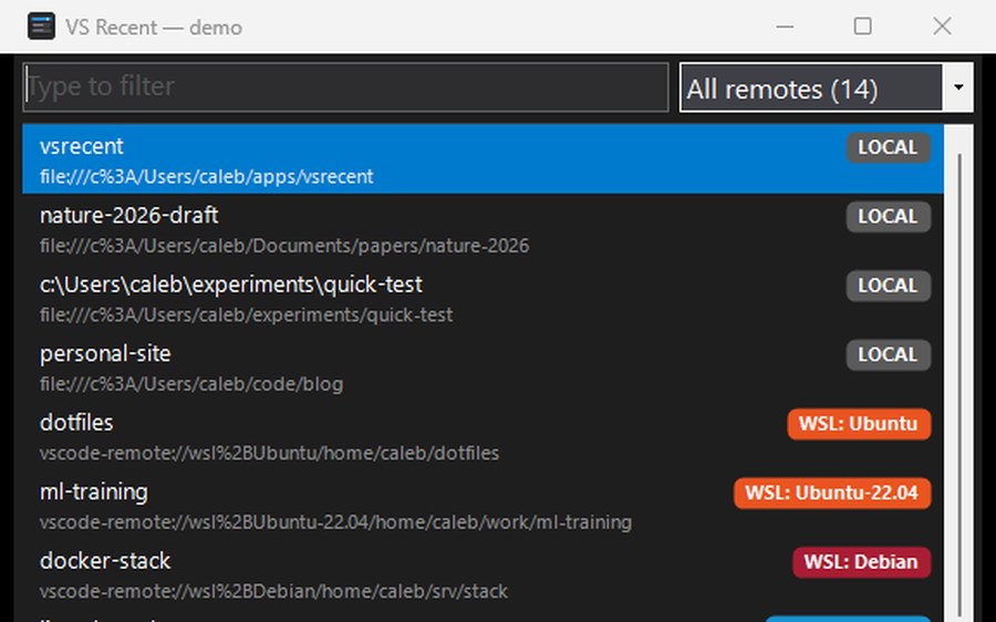
Tiny Windows launcher for VS Code's "Open Recent" projects.
0 1 contributor
Talks
- Keynote at the EarthVision Workshop at CVPR 2026 — From Local to Global Maps from Satellite Imagery: ML Techniques and Applications (June 2026, Denver, CO)
- Invited talk at the NOAA Northeast Fisheries Science Center AI 101 Symposium — Geospatial ML for Sea Lions, Whales, and Buildings (May 2026)
- Keynote at the CV4EO Workshop at WACV 2026 — Applied GeoML: From Local to Global (March 2026, Tucson, AZ)
- Invited talk at the ITU AI for Good webinar — Mapping Connectivity for Saving Lives: The Early Warning Connectivity Map (EWCM) (January 2026, online)